
CAL FIRE is forecasting above-normal large fire activity across both Northern and Southern California through July and August 2026, a projection that arrives as the state enters the July 4 weekend, when fireworks-related ignitions historically spike. The agency’s seasonal outlook, supported by the National Interagency Fire Center’s June-through-September forecast, identifies a convergence of below-average precipitation, rapid snowpack decline, weakening marine layers, and early fuel curing that has positioned the state for one of its more challenging fire seasons in recent years.
Key Takeaways
- CAL FIRE and the National Interagency Fire Center are both forecasting above-normal significant fire potential across Northern and Southern California through July and August
- Southern California precipitation since October has been approximately 70% of average, with consistently above-average temperatures and a weakening marine layer reducing coastal moisture recovery
- Northern California’s snowpack declined from 75-80% of normal on May 1 to 20-30% by the end of May, eliminating the shielding effect that protects ground fuels from early drying
- A weak-to-moderate Santa Ana wind event on May 18-19 triggered significant fire activity across Southern California, including several new large fires
- CAL FIRE has expanded to a nine-month peak fire season staffing model for 2026, with additional year-round personnel at stations in Truckee, Nevada City, and Higgins Corner
Two Regions, One Convergence of Risk Factors
The fire outlook for Northern and Southern California arrives at the same conclusion through different paths. In the south, precipitation since October has tracked at roughly 70% of the seasonal average, according to CAL FIRE’s 2026 fire season assessment. Temperatures ran consistently above average through May, and the marine layer, the band of cool, moist air that rolls inland from the Pacific and historically slows fire spread in coastal zones, is showing signs of weakening. CAL FIRE flagged the deteriorating marine layer as a factor that “may contribute to increased fire risk in coastal zones,” a concern that extends beyond the traditional inland fire corridors into communities along the Southern California coast.
A weak-to-moderate Santa Ana wind event on May 18-19 provided an early demonstration of the risk. The offshore winds drove significant fire activity across the region, igniting several new large fires and underscoring how quickly conditions can escalate when dry fuels and wind events intersect. Moderate drought now exists over eastern San Bernardino County near the Colorado River, according to CAL FIRE, and abnormally dry conditions extend across most other eastern and northern desert areas. High grass fuel loads, a product of earlier rain that produced vegetative growth now drying rapidly under summer heat, have raised the risk for large fires across multiple fuel types, including timber and coastal grasses.
In Northern California, the trajectory is shaped more by the disappearance of snowpack than by the absence of rain. Snow levels across the northern Sierra declined from 75-80% of normal on May 1 to just 20-30% by the end of the month. Steve Garcia, unit forecaster and vegetation program coordinator for CAL FIRE’s Nevada-Yuba-Placer unit, told the Nevada County Board of Supervisors in May that the lack of snowpack removes the shielding effect that snow and ice provide over ground fuels. Without that insulation, ground fuel dries earlier and more aggressively, creating conditions that support larger and faster-moving wildfires.
Northern California also recorded approximately 2,400 lightning strikes in May, well below the 10-year average but enough to spark grassland incidents including the Midway and Catlett fires. Areas above 7,000 feet in the Sierra Nevada and Mono County have already experienced early-season timber fires, a development CAL FIRE described as underscoring the vulnerability of high-elevation forests that would typically remain protected by residual snowpack through mid-June.
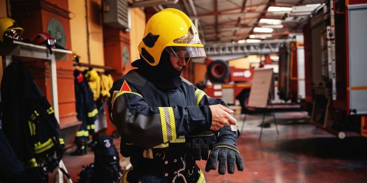
CAL FIRE Has Expanded Its Staffing Model to a Nine-Month Peak Season
The agency’s operational response reflects the severity of the forecast. CAL FIRE has moved to a nine-month peak fire season staffing model for 2026, extending the period of maximum readiness well beyond the traditional summer window. Additional year-round staffing has been added at stations in Truckee, Nevada City, and Higgins Corner. Garcia told the Nevada County Board of Supervisors that the Nevada-Yuba-Placer unit has been fully staffed with all frontline engines since March 15, weeks earlier than in prior years.
The operational deployment for the unit includes 22 staffed frontline engines, seven hand crews, four dozers, and an air tactics team. CAL FIRE has also integrated eight unmanned aerial systems, commonly referred to as drones, into its detection and response operations. Garcia noted that satellite imagery played a detection role in 2025, identifying a fire between Dutch Flat and Rollins Lake that never generated a 911 call, a capability that has been expanded for the 2026 season.
Statewide, California averages approximately 8,000 wildland fire ignitions annually. The National Interagency Fire Center’s June-through-September outlook, released June 1, forecast above-normal significant fire potential across much of the West in June, including most of Northern California and lower elevations in central and Southern California. The NIFC projected that fire potential would return to normal for central and Southern California by July but would persist at above-normal levels across Northern California, the inland Northwest, and portions of the northern Great Basin through August and into September.
The July 4 Weekend Adds a Human Ignition Variable
The timing of the fire risk escalation coincides with one of the most dangerous weekends on the fire calendar. Fireworks-related ignitions spike every year around July 4, and CAL FIRE enforces year-round restrictions on the use, sale, and possession of fireworks in state responsibility areas. The combination of above-normal fire potential, low dead fuel moisture, cured grasses at lower elevations, and millions of Californians gathering outdoors creates a compressed window where a single ignition can escalate rapidly under current conditions.
The National Weather Service’s Climate Prediction Center has forecast above-normal temperatures and below-normal precipitation across California through the summer, a pattern that is expected to accelerate the drying of herbaceous fuels and live vegetation at progressively higher elevations. An El Niño weather pattern, associated with warmer and drier conditions across the Pacific Northwest and Northern California, is expected to develop in June and persist into fall and winter. The NIFC assessed a greater than 40% chance of a strong El Niño by August or September, a development that would extend the above-normal fire risk window well beyond the traditional October wind season.
California’s 2026 fire season has not yet produced a catastrophic event, but the combination of depleted snowpack, early fuel curing, weakening marine layers, and a developing El Niño has placed the state on a trajectory where the question is not whether large fires will occur but how early and how frequently they will arrive.
CAL FIRE urges residents to maintain 100 feet of defensible space around structures, prepare emergency evacuation plans, and report illegal fireworks use to local law enforcement.
Frequently Asked Questions
What does “above-normal fire potential” mean? Above-normal fire potential is a designation used by the National Interagency Fire Center and CAL FIRE to indicate that conditions favor larger and more frequent wildfires than the historical average for a given period and region. The assessment is based on precipitation, temperature forecasts, fuel moisture measurements, and snowpack data.
Why is the weakening marine layer a concern for Southern California? The marine layer is a band of cool, moist air from the Pacific Ocean that typically pushes inland overnight and through the morning in coastal Southern California. When the marine layer weakens, coastal communities lose the moisture recovery that historically slows fire spread, extending fire risk into zones that are not traditionally considered high-risk corridors.
How does low snowpack affect fire risk in Northern California? Snowpack insulates ground fuels, including duff, leaf litter, and fallen branches, from drying out. When snowpack declines earlier than normal, those ground fuels begin drying weeks ahead of schedule, creating conditions that support faster fire spread and more intense burning at higher elevations.
Are fireworks legal in California? Fireworks are illegal in state responsibility areas managed by CAL FIRE year-round. Many California cities and counties also ban fireworks entirely. Only “safe and sane” fireworks are legal in some jurisdictions that explicitly permit them. CAL FIRE urges residents to check local regulations before July 4.
What should residents do to prepare for wildfire season? CAL FIRE recommends maintaining 100 feet of defensible space around structures, installing ember-resistant vents, cleaning gutters and roofs of debris, preparing emergency supply kits with water and N95 masks, planning multiple evacuation routes, and signing up for local fire alerts and red flag warnings.